Transportation and Commuting in Oakville, MO: A 2026 Guide
Oakville, MO sits in South St. Louis County - suburban, bordered by the Mississippi River, and moving fast. As of mid-2026, homes here are spending roughly 12 days on the market before selling, with a median sale price around $357,000. That combination of space and proximity to a major city is exactly what draws buyers to this part of South County, especially those weighing the pros and cons of living in Oakville, MO.
One of the first questions I hear from people considering a move here: how's the commute? Getting around Oakville depends largely on a handful of major roads and regional transit options, and knowing what you're working with before you buy makes the day-to-day a lot easier to plan.
Arriving in Oakville, MO: Routes and Airports
Most people come in on Interstate 255 or Interstate 55, both of which connect South County to the rest of the metro. Once you're off the highway, you'll transition quickly into suburban arterial roads - and that transition is pretty seamless as these things go.
Telegraph Road is the spine of the community. North-south, straight through, used by everyone from moving trucks to daily commuters. If you're going to know one road here, that's the one.
Driving Routes Into South County
If you're coming from Illinois, I-255 crosses the Jefferson Barracks Bridge directly into the northern edge of Oakville. Coming south from downtown St. Louis, most drivers take I-55 South and exit onto local roads from there. Lemay Ferry Road runs parallel to Telegraph Road to the west and works as a solid secondary option when you want to avoid the main drag.
Flying In: The Closest Airport
St. Louis Lambert International Airport (STL) is your closest commercial option. Depending on which highway route you take, you're looking at 23 to 28 miles from the airport to Oakville - about 38 minutes under normal traffic conditions.
Drive Times and Commute Routes
Downtown St. Louis is about 16 miles by road from Oakville, or roughly 18 miles as the crow flies. That's a genuinely manageable distance, and most days it stays that way.
Traffic peaks during standard morning and evening rush hours. The main corridors handle it well enough, but near the highway interchanges you'll want to build in some buffer.
Distances From Downtown St. Louis
Under regular conditions, the drive from downtown St. Louis to Oakville runs about 23 minutes. That holds for weekdays outside peak hours, and weekend trips to the city tend to be faster. For most people working in the city, it's a commute they stop thinking about pretty quickly.
Reaching Central Oakville
Telegraph Road and Baumgartner Road is the intersection that anchors everything - the commercial core, the transit connections, the grocery stores, restaurants, and retail that most residents use regularly. It's the landmark locals give you when you ask for directions, and it's worth knowing before your first week here.
Public Transit Options in South County
St. Louis Metro Transit runs bus service throughout South County. There's no light rail station in Oakville itself, but the bus routes connect you to the broader network, including the MetroLink trains further north.
Suburban bus schedules run less frequently than what you'd find closer to the city, so planning ahead matters more here than it would downtown.
Using the MetroBus System
MetroBus Route 9 runs straight down Telegraph Road, with its southern terminus near Baumgartner Road. Oakville doesn't have its own Metro park-and-ride lot within the community boundaries - riders looking to park and board use the Shrewsbury-Lansdowne I-44 Transit Center, which is also the northern terminus for Route 9 and offers free parking.
Transit Fares and Payment Methods
MetroBus fares are currently $2.00 for adults and $1.00 for riders with disabilities who hold a Reduced Fare, ID. Qualified paratransit riders travel free through the On The Way With ADA program.
- Children under 4 ride free.
- Children ages 5 to 12 ride at half price.
- Seniors aged 65 and older ride MetroBus and MetroLink at half price with a Senior Reduced Fare Permit.
Deciding If You Need a Car
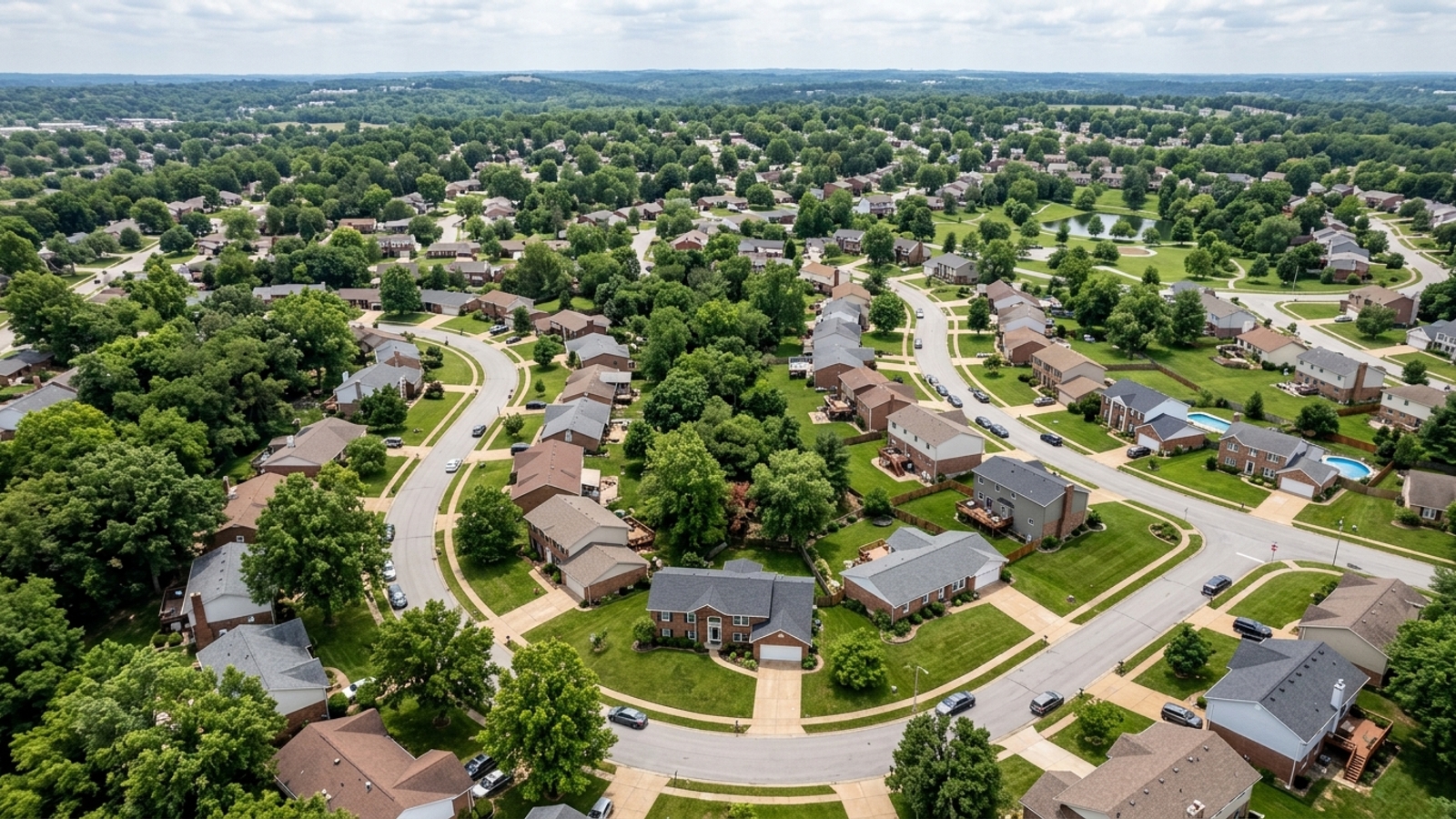
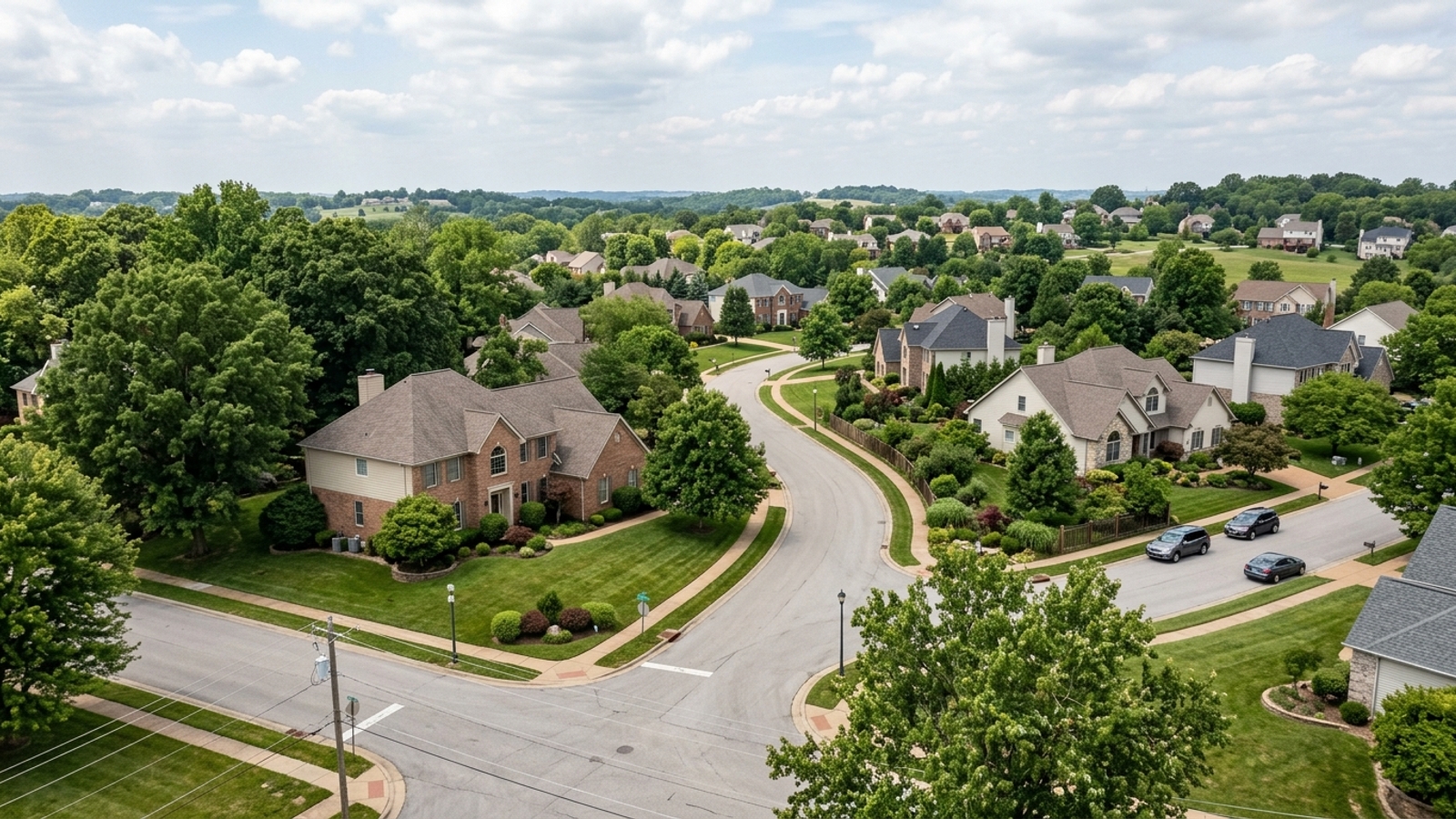
Short answer: yes. Most homes in Oakville have attached garages and private driveways, and that's not a coincidence - the whole area is built around driving. Subdivisions spread out over enough distance that getting anywhere without a car takes real effort.
Transit exists, and it works for what it is. But if you're used to a place where you can walk to most things or rely on frequent bus service, this is an adjustment worth making consciously before you sign anything.
Walkability Along the Main Corridors
Oakville isn't walkable for daily errands. Some residential streets have sidewalks, but walking from a subdivision to the grocery store or a restaurant on Telegraph Road isn't practical for most people - the distances are real, and the traffic volume on the main commercial stretch isn't exactly pedestrian-friendly.
Rideshare and Taxi Availability
Uber, Lyft, and local taxi services all operate throughout South County. Residents use them for airport runs, nights out downtown, or situations where driving isn't ideal. Wait times are generally short, though early morning airport pickups can run longer.
Senior and Medical Transportation Services
Older adults and residents with medical needs have access to specialized transportation programs that don't require a personal vehicle. These are county-wide services that extend into Oakville, and they're worth knowing about whether you're buying for yourself or thinking about aging-in-place considerations for family.
Book ahead - availability isn't guaranteed without a reservation.
Transport Options for Older Adults
The County Older Residents Program (CORP) matches adults over 60 with volunteer drivers for medical appointments and priority trips. OATS Transit also serves the area, with rides available for a suggested donation of $2.50 each way. Both programs require registration and advance scheduling.
Booking Medical Transport Services
No non-emergency medical transportation (NEMT) providers are headquartered specifically in the 63129 ZIP code, but regional providers - AXEL, MTM, and Zipcare - cover the broader St. Louis County area. MTM serves as the Medicaid and MO HealthNet transportation broker for eligible residents needing rides to healthcare facilities.
Frequently Asked Questions
How long does it take to commute from Oakville, MO to downtown St. Louis?
It depends on traffic. Under normal conditions, the 16-mile drive takes approximately 23 minutes. Rush hour delays can push that higher depending on your exact route.
How bad is rush hour traffic on Telegraph Road in Oakville?
It depends on the time of day and the specific intersection. Telegraph Road is the main commercial artery, so volume peaks during morning and evening commute hours. Near major intersections like Baumgartner Road, build in extra time.
Does the St. Louis MetroBus or MetroLink service the Oakville area?
MetroBus serves the area via Route 9, which runs along Telegraph Road and terminates near Baumgartner Road. There's no direct MetroLink station in Oakville, but Route 9 connects to the Shrewsbury-Lansdowne I-44 Transit Center.
Is Oakville, MO a walkable community, or will I need a car for daily errands?
You'll need a car. Some subdivisions have sidewalks, but the distances between residential streets and commercial centers on Telegraph Road make walking impractical for most trips. Public transit is available, but driving is how most residents get around.
What is the easiest route from Oakville to St. Louis Lambert International Airport?
The most direct route usually means taking I-255 to I-270 North or I-55 North toward the airport - about 23 to 28 miles, and roughly 38 minutes without heavy traffic.
Are there alternate routes out of Oakville when I-255 or Telegraph Road is backed up?
Yes. Lemay Ferry Road runs parallel to Telegraph Road to the west and gives you another north-south option out of South County. Which route makes more sense depends on where you're headed in the St. Louis area.